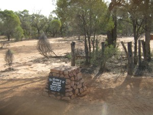
I recently travelled to the Adavale district of south-west Queensland to place a grave marker at the resting place of a pioneer. Boundary rider William Hamilton was buried where he died in the bush in 1910, and the location of his lonely, unmarked grave was known to just a few people.
William Hamilton lies at rest on what was Milo Station near its boundary with Nickavilla Station, between Goombie Creek and Buckabie Creek.
My grandfather John and his business partner Ralph selected Buckabie Station by ballot when it was cut from Milo after the Great War in 1919, and my father Malcolm grew up on Buckabie after this time. Marking Hamilton’s grave fulfilled a long-term wish for my father.
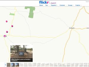
Flickr hosts my Quilpie photo album, displaying images from successive visits. I usually choose to display the place where each photo was captured, using Flickr’s ‘map’ tool, but the map does not have fine-grained control in regional areas. I wanted to display the locations in greater detail.
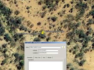
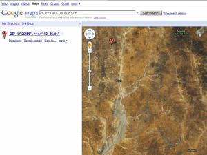
A screenshot of Hamilton's grave location in Google Earth
Lacking a GPS navigator, I located Quilpie in Google Earth and ‘followed’ the track 70km to Hamilton’s grave. Adding a placemark bookmarked the location for future reference, and also gave me the latitude and longitude reference – located in the ‘properties’ field of the placemark. However, not everyone can access Google Earth. This requires free software download and a reliable Internet connection – I needed a URL for this spot.
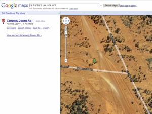
Google Maps let me link Hamilton’s grave location to a URL. Copying and pasting the Google Earth co-ordinates, I then added the URL to each Flickr photo in this place.
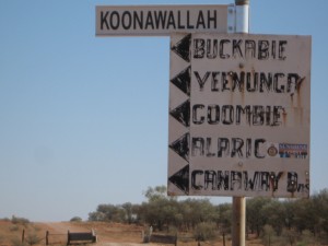
One disadvantage is that the photos do not show up in the Flickr map, but must be added separately as an approximate location. Google Earth and Google Maps, however, show signposts I’ve photographed that are visible in detail right down to their shadow along the ground.
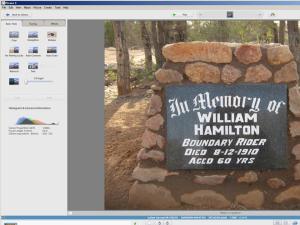
Editing Hamilton's grave photos in Picasa
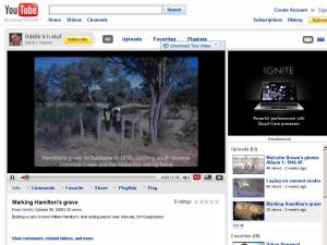
I thought that my students might like to see photos of how I built Hamilton’s cairn, so I edited and uploaded them to Youtube using the Picasa movie maker.
I added a caption to each photo which displays as the video clip plays, and selected an audio track to accompany the images after uploading.
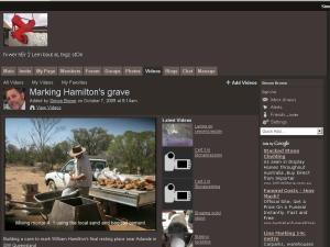
Youtube allowed embedding the video in the stonemasonry Ning community website, however, as Youtube is blocked in the student network, I instead uploaded the movie file to Ning from my computer hard drive.
In turn, this also allows embedding to other websites. I guess that all this would have been easier using a SatNav? It was fun doing it, though.

